

Skip to content

Road trips

Build the road trip before you start driving.

Put the stops you actually care about on the map, see how far apart they really are, and turn them into a route worth driving. Outrouted weighs the places you want against the days you have.

Death Valley1San Francisco3 nights2Monterey1 night3Big Sur1 night4San Luis Obispo1 night5Santa Barbara2 nights6Los Angeles3 nights
  1. San Francisco3 nights
  2. Monterey1 night
  3. Big Sur1 night
  4. San Luis Obispo1 night
  5. Santa Barbara2 nights
  6. Los Angeles3 nights
San Francisco down to Los Angeles: six stops, eleven nights, and no driving day much over a hundred miles. Illustrative route. The lines are straight on purpose: they show the order, not the road.
  • Distance sets the pace.

    Every leg carries an estimated distance and driving time, so a day can be judged before it is committed to. Outrouted works road distance from the straight line between stops with a detour factor, and time from an average of 58 mph. It paces a trip; it does not navigate one.
  • Where you sleep decides the drive.

    Overnight stops are what break a long haul into days. Add one and re-plan, and the legs either side get shorter. Drop one and the day that turned into six hours behind the wheel gets flagged.

  • The detour, priced.

    A stop two hours off the highway costs two hours and a night. The route shows both, and the budget picks up the extra fuel and the extra bed instead of leaving them for later.

  • Cars cost by the day.

    A rental is priced from the day your first drive starts to the day the last one ends, so a trip you fly between cities pays for no car. Fuel comes from the miles the route produces. Parking and tolls are a flat allowance for each rental day, not a forecast, and the budget says so. One-way fees, insurance and deposits are not in it, and the budget lists them.

  • Ten stops is not a holiday.

    The route makes over-packing obvious. When the map shows five hours between every bed, the fix is fewer stops, and that is a much easier decision to make looking at the line than looking at a list.

Photographs of the route

San Francisco
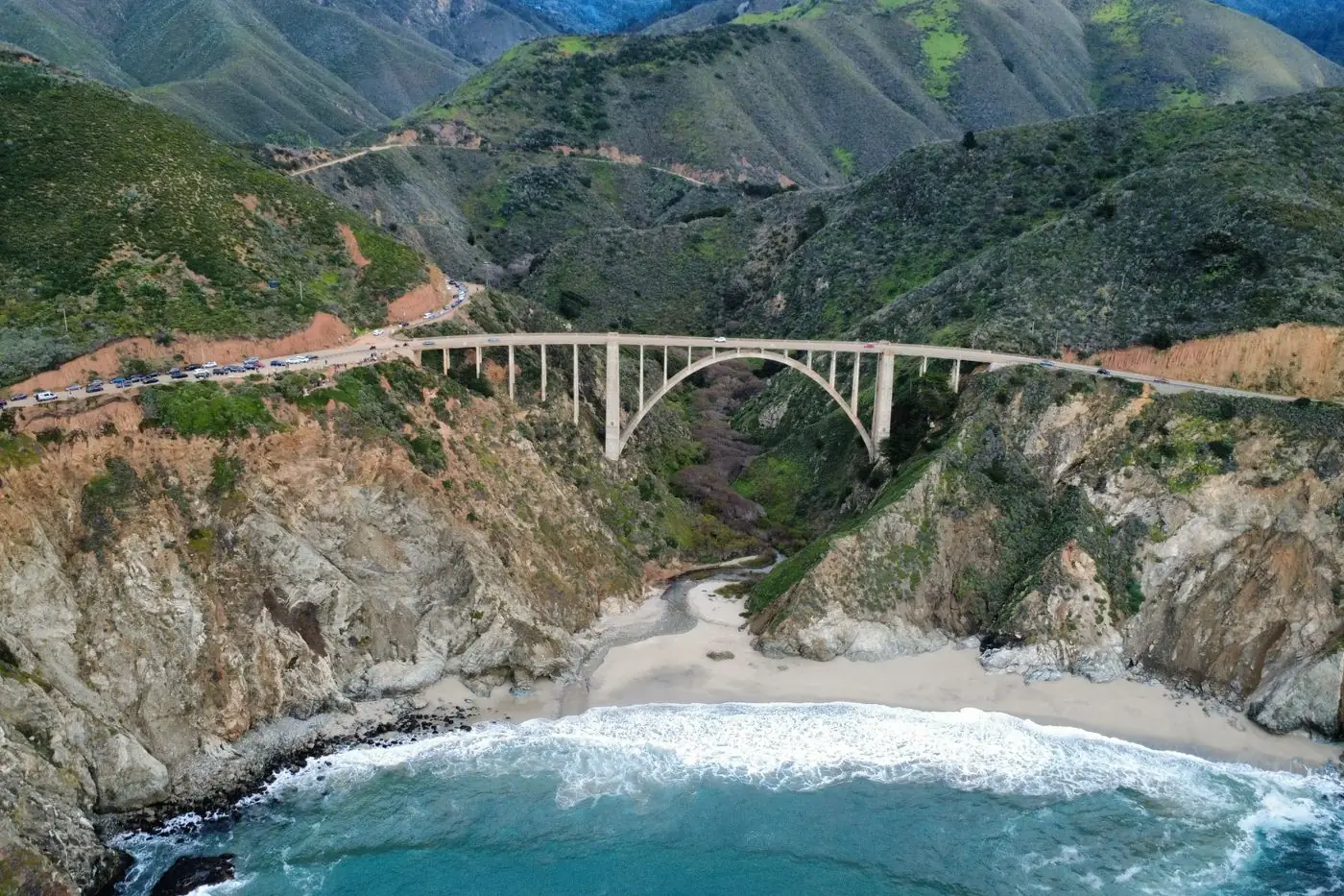
Big Sur
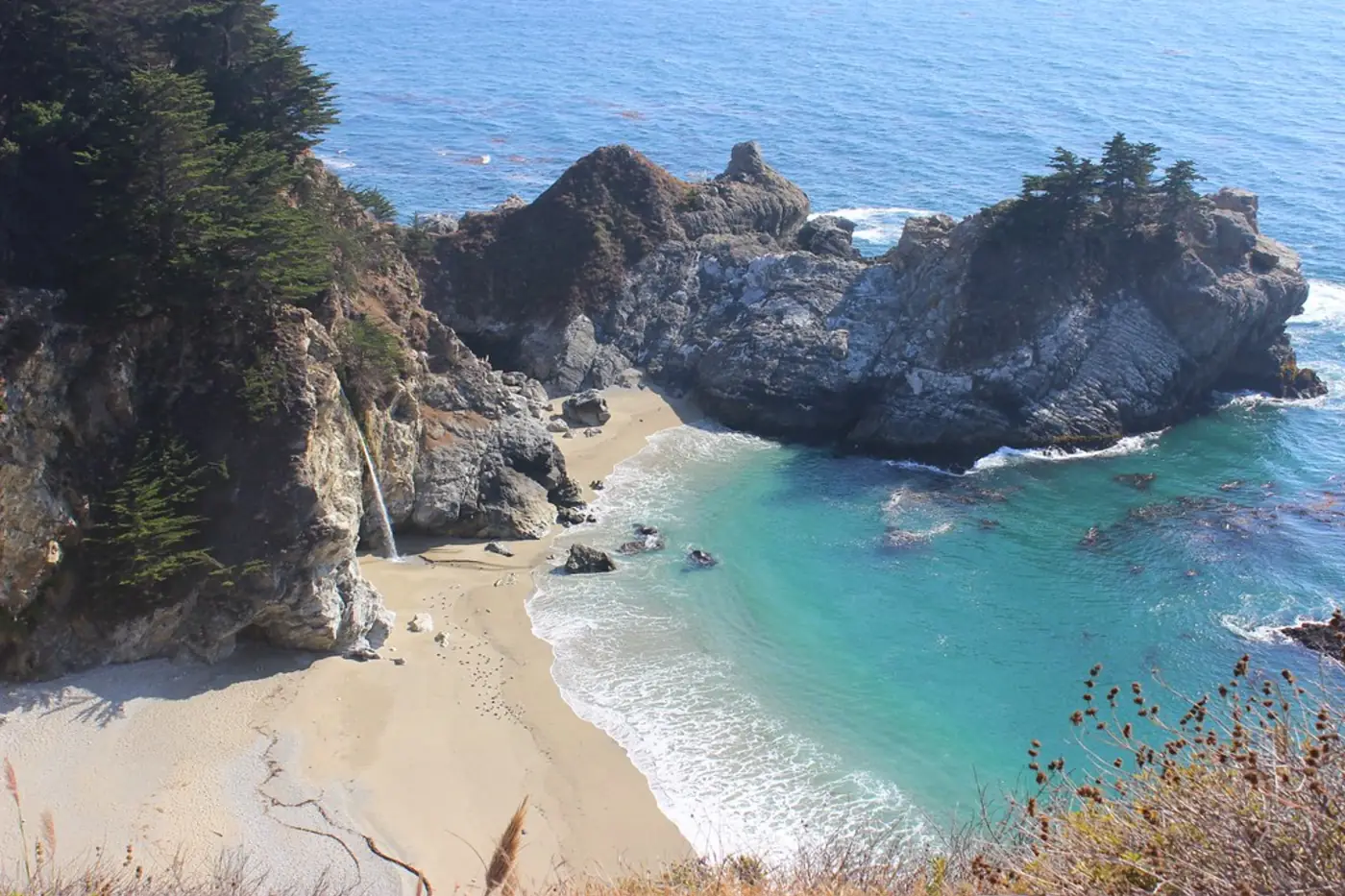
McWay Falls
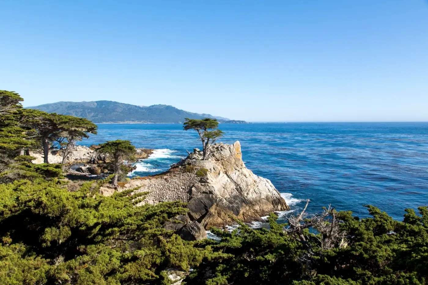
Monterey
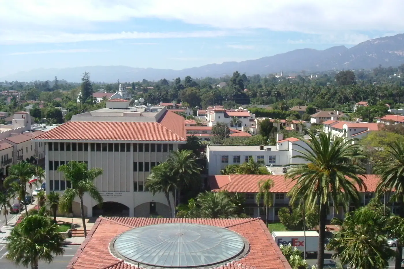
Santa Barbara
Los Angeles
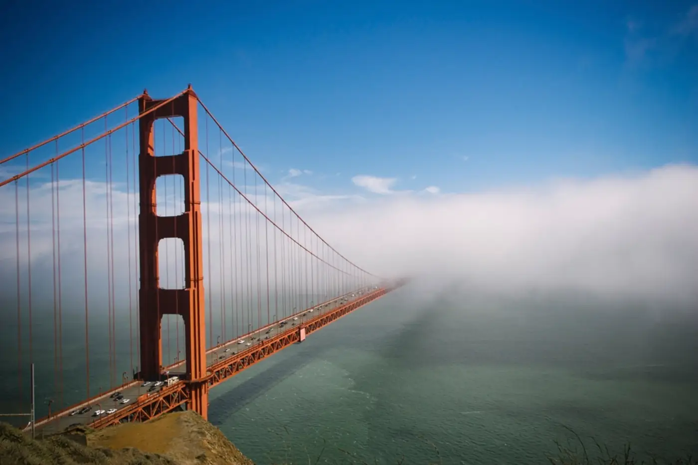
San FranciscoThe Golden Gate with the fog coming in under it.
1 of 6 · Photo: Openverse / rawpixel

Questions

Road trip questions

No. It decides which stops, in what order, and roughly how long each leg takes. Take the finished route to a navigation app for the driving itself.

Yes. A route can come back to where it started, or end somewhere else and fly home from there.

Trains and buses, yes. Pick them under how you move and any hop short enough to ride is priced as a rail or bus fare with its own travel time. A rental is priced only for the legs you still drive. Ferries, no. A crossing you plan to take is something to build the route around, not a leg it can price yet.

Worked out from the route's own miles and an assumed consumption, at a fuel price you can see. Change the route and the fuel line changes with it.

Pick the stops. We will tell you what the driving costs.

Free to plan, and no account for your first routes.